Best Farmland Locations Around Bangalore - Location Guide
Explore top farmland areas like Sarjapura, Kanakapura, Bannerghatta & beyond with strong connectivity, greenery, and long-term growth potential.
Bangalore is surrounded by agricultural corridors in multiple directions — south, southeast, east, and northeast — each with its own terrain, soil, rainfall, and road access characteristics. Choosing the right corridor depends on your location within the city, intended land use, and how frequently you plan to visit. This guide serves as an orientation tool to help you identify which corridor suits your needs before diving into detailed individual location guides.
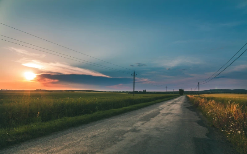
South Bangalore Corridor
The southern agricultural corridors extend along Kanakapura Road and Bannerghatta Road, running south from JP Nagar and neighbouring localities into Anekal taluk. The terrain across this corridor is semi-elevated in many sections, with a microclimate that tends to run slightly cooler than central Bangalore. Green cover is generally stronger here than in the eastern belts.
Buyers based in Jayanagar, BTM Layout, Banashankari, and JP Nagar find this corridor accessible without crossing central city traffic. The south corridor has been established among farmland buyers for several years and suits those looking for cultivable land with natural surroundings within a relatively direct drive from home.
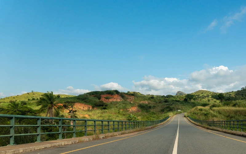
Kanakapura Road
Known for orchards, rolling terrain, and long-standing farming villages.
A familiar farmland belt south of Bangalore with strong cultivation roots.
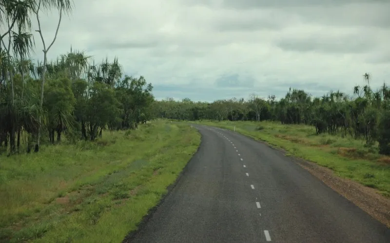
Bannerghatta Road
Farmland stretches beside the forest belt south of Bangalore city.
Green surroundings and orchard-friendly terrain define this corridor.
Southeast Corridor
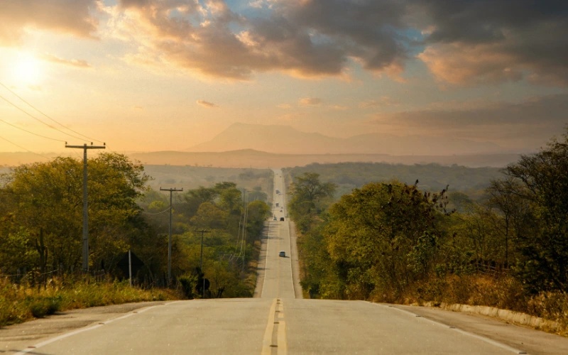
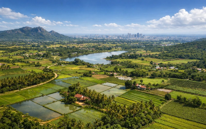
The southeastern belt covers Sarjapur Road, Attibele, and Anekal, extending from the Outer Ring Road junction southeastward toward the Karnataka-Tamil Nadu border. The terrain across this stretch is predominantly flat to gently sloping, which makes it practical for active cultivation and straightforward field layout.
Connectivity is well-suited to buyers based in Bellandur, HSR Layout, Electronic City, and Whitefield. The corridor links to NH 44 and connects to multiple parts of Bangalore’s eastern employment zones, making it one of the more accessible agricultural belts for professionals based on that side of the city. Anekal taluk carries a long established farming history that gives this stretch an active agricultural character.
Sarjapur Road
A flat, cultivation-friendly belt southeast of Bangalore with strong road connectivity.
Well suited for buyers from HSR Layout, Whitefield, and Electronic City.
Attibele
An active farming belt near the Karnataka–Tamil Nadu border with flat agricultural land.
Best suited for buyers focused on practical cultivation and market access.
East Bangalore Corridor
The eastern corridor runs along NH 75 toward Hoskote and beyond. This stretch is less densely developed than the southern corridors and carries an open agricultural character across a wide area. The landscape here runs largely flat, and cultivation has been active for years — not experimental or newly introduced. A functioning farming network already exists across the belt.
For buyers coming from Whitefield or KR Puram, access feels direct rather than complicated. The eastern corridor appeals to those who value uninterrupted land stretches and clean highway connectivity, particularly investors planning to hold land over a longer cycle. The highway extends further toward Kolar, which gives this corridor a clear road connectivity profile.
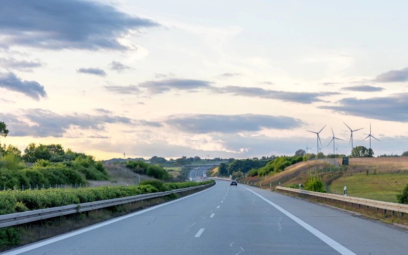
Hoskote Region
An open agricultural corridor along NH 75 with long-established farming activity.
Appeals to buyers from Whitefield and KR Puram seeking highway-connected farmland.
Gated Farmland Communities
Gated farmland community brings planned access, internal roads, and shared utilities.
A structured option for buyers who prefer organized land ownership.
Using This Guide
Each corridor described here suits a different combination of base location, land-use intention, and ownership approach. South Bangalore buyers with an interest in natural surroundings and regular visits tend to align with the Kanakapura Road or Bannerghatta Road corridors. Buyers based in Electronic City, HSR Layout, or Whitefield who want accessible, cultivation-oriented land typically look at the Sarjapur and Attibele belt. Those from eastern localities — Whitefield, KR Puram — often find Hoskote a practical match.
This page provides the orientation layer. The individual location guides carry the depth required to make a well-considered decision — covering soil profiles, water availability, terrain variation across each stretch, crop suitability, and local buying context.
Use the links below to move from this overview to the full guide for whichever location best matches your situation.